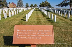
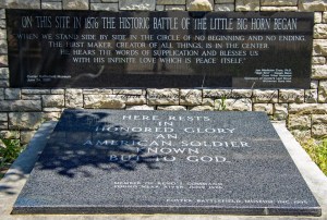
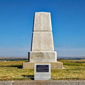
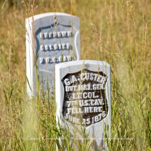
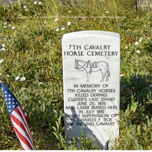
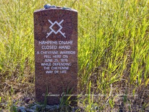
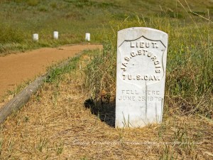
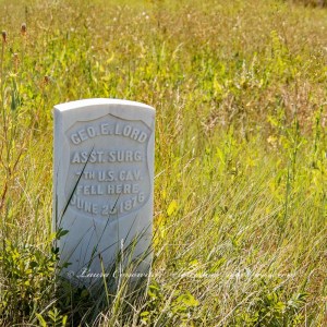
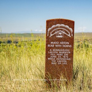
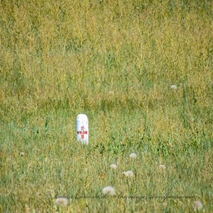
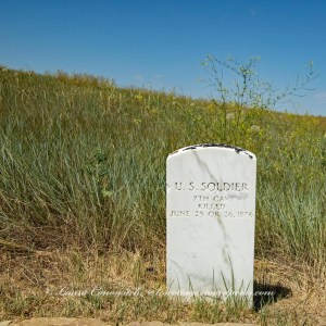
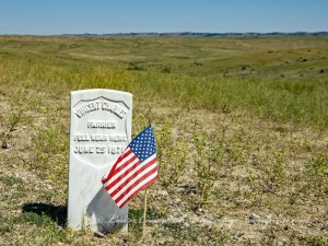
There are many memorial markers throughout the battlefield; red for the Indians and white for the civilians and soldiers. Trails lead to some of them, and others are isolated. Many represent an unknown person who had fallen in that spot.
*Clicking on a photo will give you a closer look!
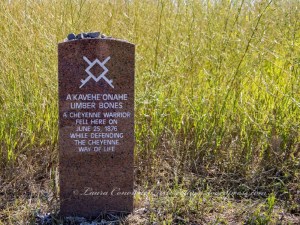
It is heartbreaking to see these markers everywhere.
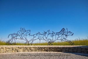
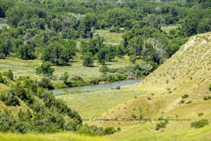
In the following photo, you are near Last Stand Hill. As you look towards the tree line and the Little Bighorn River, you are astonished at a very large Indian encampment.

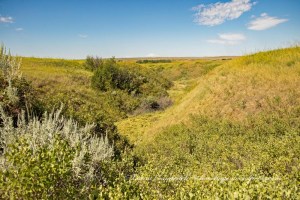
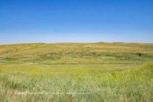
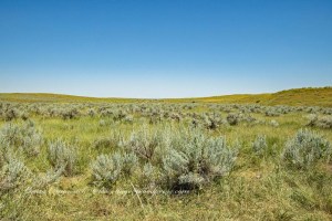
I am sharing photos of the terrain, so that you can get an idea of it. Remember that I said that we visited on July 28…not too distant from the anniversary date of June 25-26. It is summer and it is hot. I found myself overheating even with taking my time to walk and drinking plenty of water.
I am imagining what it must have been like for the warriors and soldiers, and civilians. Can you picture being in full gear, crawling along a rattlesnake and cactus infected ground, and under the full heat of the sun, trying to avoid a bullet or a hatchet? How about the sounds of artillery and the screams of fear and rage? What about the horror of seeing the fallen all around you?
Terrifying.
They were in hell.
Deep Ravine (Crazy Horse Gully and Grey Horse Ravine) where approximately 40 soldiers were killed.

Perhaps as many as 600 warriors pursued Major Reno’s retreat across the river at this spot. Reno’s casualties are 40 men killed and 13 wounded.
Reno Hill, also known as the Reno/Benteen Battlefield where the field hospital was. Soldiers volunteered to make the treacherous trek while under fire, to get water for the wounded.
Medicine Tail Coulee where Custer divided his command.
Warriors pursued Custer’s retreat up Deep Coulee to the high ground.
If you are interested in this period of American history, then you will find it worth your time to visit Little Bighorn Battlefield National Monument Park.
Little Bighorn Battlefield National Monument Park Part 1
See the world around you!